Sunday 26 May 2013

Great Asby Ramble

Sun playing on the water as it returns to daylight from St  Thomas's Well. Is this the same water that disappears into Pate Hole Mouth and Low Pate Hole?

Pate Hole Mouth, explored in the 1960's and believed to give access to almost 1k of passages, most flooded apparently.

Its Bluebell time, and there were lots of them in Asby Gill.

Great Asby is a delightful village, many of the houses and farms predate the church.

Friday 24 May 2013

Mountain Biking the Torridon Loop

This then was the real reason for my trip to Torridon. The weather had calmed down and was forecast to improve as the day progressed.

Riding the road from Torridon hostel past Laitach

Entering the Coulin Estate, all good from here!

After riding through the grounds of Coulin House, I arrived at Loch Coulin, Beinn Eighe in the background.

The climb to the summit of the Coulin Pass was all rideable, before the descent to Strath Carron I had a breather and admired the Corbett Sgurr na Feartaig.

As a lot of forestry has been cleared the views up and down Strath Carron were excellent. This is the demoted Munro Sgurr nan Ceannaichean

And the view westwards to Loch Dughaill and beyond

A stiff push/hike-a-bike from Achnashellach and I was in Coire Lair.

Over to the West loomed Fuar Tholl, only! a Corbett...

Further into Coire Lair I could look back out to the hills of the Achnashellach Forest and beyond

Higher in the coire you pass under the imposing crags of Sgurr Ruadh

Almost at the col and the track was still covered by the previous days snow.

At the col, you're presented by the full range of the Torridonian Giants.

The trail just goes on and on, almost all rideable, here you can see it twisting and turning from the Bealach Ban down to the Bealach na Lice.

From Bealach na Lice the riding and the views improve. In the background Maol Chean Dearg.

This sums up mountainbiking in Torridon, need I say more?

Riding the glacier smoothed slabs, some of the oldest rock in the world. 

Almost down to Annat at the head of Loch Torridon. The scenery seen at its best in weather like this.
A fantastic day, this must be in the top 5 natural mountainbike rides in Britain. It's serious mountain terrain and should be respected at all times, certainly not to be confused with the sanitised trail centres.
  There's a fair bit of Hike-a-Bike as well, don't think it'll be easy, but then the best things never are.

Thursday 23 May 2013

Fionn Bheinn

Stopping at Torridon hostel in the company of some of the finest hills in Britain, you may well wonder why I found myself walking up much maligned Fionn Bheinn. Well my main reason for being in Torridon was not to climb Munro's or any hills in fact. But waking to find the snow down to about 500m and a real hoolie blowing meant that plan B was required.
   Hence I drove round to Achnasheen, and fully togged up, I left the car with the temperature at 2deg C!

Achnasheen Junction below the somewhat sodden slopes of Fionn Bheinn. Thank goodness for Goretex socks! My Inov8 Roclites amazingly grippy as always.

The ground dried out a little after the intial slopes, all you have to do is negotiate the extensive peat hags. I was looking forward to gaining a bit more height and getting into the snow.

Once on the lip of the corrie the full force of the wind was met, what looks like mist is spindrift. The wind whipping it up  stinging  as it rushed past.

I kept well back from the corrie rim as the wind made for a drunken stagger, several times I had to get down on all fours! The Fannichs were getting a few glimpses of blue sky.

The hidden Loch Fannich. I ddn't linger but retraced my route more or less back to the car at Achnasheen, pleased that I.d made the best of the stormy day.


Tuesday 21 May 2013

Carn a`Mhaim

This would be the last Munro that I've planned to climb from the Braemar area. I parked at Inverey, (free!), and rode the bike on past the Linn of Dee and into Glen Lui. This glen is surely one of the most picturesque, as I approached Derry Lodge Carn a`Mhaim came into view. I left the bike at the Luibeg Burn and started the climb proper.

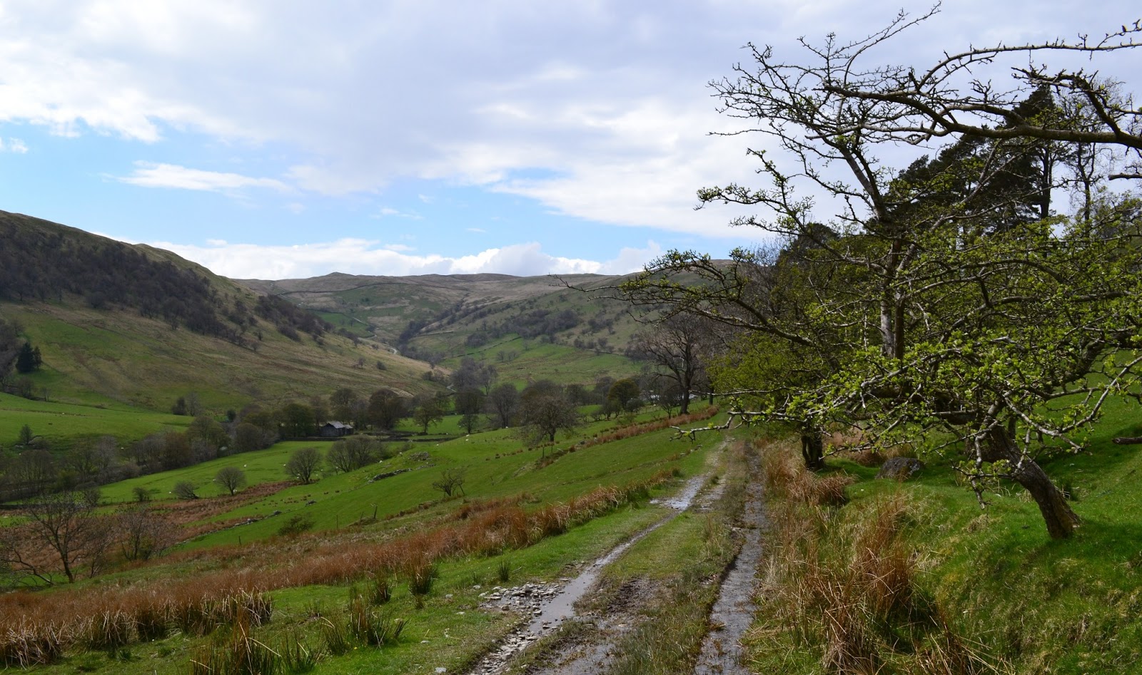
The well constructed track on the North bank of the Luibeg Burn, more superb Scots Pine. The burn would requirea detour to the bridge, the stepping stones being underwater.

A good path has been made up the broad ridge of Carn a`Mhaim, this made gaining height easy. I was soon on the easier slopes where the views opened up in all directions.

The summit of Carn a`Mhaim, my 200th Munro. The peaks west of the Lairig Ghru still carring alot of snow. 

Although Carn a`Mhaim is 1037m its neighbours tower over it. The brisk breeze required a windshirt, and was tearing the clouds from the top of Ben Macdui. 

Looking across the Lairig Ghru to the Devils Point, Monadh Mor and Beinn Bhrotain.

As I left Derry Lodge I called in at Bob Scotts, a place with real history. 
I felt rather pleased with myself, my 200th Munro, its certainly not been a rushed campaign (not really a campaign at all!) I climbed the first in 1985! The plan, such as it is, is to compleat before I retire

Monday 20 May 2013

Mount Keen By Mountain Bike

It has long been an ambition to 'climb' one of the Munro's (and descend) by mountain bike. By common concensus the best/easiest peak for this madness is Mount Keen. So I got parked up near Millfield in Glen Tanar and unloaded the bike.

The Inbred 29er ready to go, no suspension on this baby!

Its a very easy ride up through the magnificent pinewoods in Glen Tanar. The above is the 'Half Way Hut'
amazingly about halfway to the summit of Mount Keen!  

Looking South to Mount Keen from the substantial footbridge at Sheil of Glentanar. The Mounth Road can be seen snaking up the hillside, and indeed was rideable for about 1k from here. I chatted with a Challenger for a while on the ascent, we discussed if it was worth her actually going to the summit as the clag was down.

Of course you only have my word for it, but this is the trig on the summit of Mount Keen. It was a fair old push, but I was looking forward to the long descent back to the car in Glen Tanar.

Below the cloud and the day was improving the descent was going well, there was a tricky bit on a snowfield just below the summit. I stopped several times to chat to TGO challengers, and for many of them this was their last real hill.

Back at Sheil of Glentanar and of course the top was clear of cloud!

It was a long easy, mainly downhill ride back to the car. This sign caught my eye and made me chuckle!
Another  ambition achieved,  Mount Keen had given a great day 

Thursday 16 May 2013

Bretherdale

A late start saw us parked at Greenholme, West of J38 on the M6. This is a very quiet area, lots of derelict farms, which is sad. There are however lots of footpaths and bridleways, so a good variety of routes can be planned.

     We were greeted by a heavy shower as we arrived, wisely this was sat out in the car, and arrived back just after the first thunderclap and another heavy shower. Perfect timing!
The view into Bretherdale from the metalled road under Northside

The bridleway which runs above the valley, our return route would be along the minor road beside the beck

Last of the Hawthorn Blossom

Wonderful old single slab bridge (visited by the Health & Safety Police?) near the derelict farmstead of Bretherdale Head


Thursday 2 May 2013

Bikepack to Black Crag

An early finish from work, so with the car loaded with the bike and all the gear, I parked at Staveley and rode through
the lanes to Bowness and fuelled up on some chips, enjoyed people watching overlooking Bowness Bay

The On One loaded up and aboard the Windermere ferry. Only me the bike and one other passenger! The bridleway
on the West side of the lake has been improved recently and made for rapid and easy progress

Getting close to Black Crag as I head up onto Iron Keld. I'd arrived here via the bridleway beside Blelham Tarn
and Outgate. The weather was excellent, the tracks very dry.

Arriving at the summit of Black Crag, just as the sun was disappearing, the light was superb. I'd pushed from the Iron Keld bridleway. It was a struggle to find water, which was a pain.

One side of my tarp support! This was the veiw this morning from my bivibag.

And as I sat up to see the rising sun beyond my feet. The front wheel holds the other side of the tarp up.
Poles are so last year!!

Wetherlam and Coniston Old Man seen beyond my wild camp. The observant will see I've used an old fence post
to tension the tarp.....it was a lucky find balanced on the large rock behind.

South from Black Crag, a glimpse of both Tarn Hows and Coniston Water.

All packed and good to go, weight is secondry to bulk when bikepacking. I reckon I had about 23-25litres of space.

The battered Larches form the foreground with Helvellyn and Fairfield beyond.

No prizes for identifing the prominent peaks in this picture.

The splendid track which descends from Iron keld past Holly Howe to meet Tarmac at the top of Skelwith Brow

The permissive bridleway beside the Brathey presented superb reflections

Lingmoor Fell and the Langdale Pikes seen across Elterwater

After the climb from Elterwater I had the joy of a quiet descent of Loughrigg Terrace. Grasmere photogenic as always.

I had a second breakfast in Ambleside and a fruitless searh for a new Montane Litespeed (the zip had knacked on mine this morning after probably 8years) I hit the trail again. The savage climb over to Troutbeck via Skelghyll and Jenkin Crag is better done the oppisite way in my opinion.

The last trail of the day was the short bridleway across the Troutbeck, a very narrow bridge as you can see. This was used at the Lakes School for set runs when I sttended in the early 70s.
All that remained was to ride over the Moor How Road and back to the car at Staveley.
A really great trip.